24 Apr “A Must Read!”
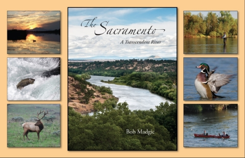
“This book is a Must for anybody interested in the Sacramento Rivers and tributaries with regards to fisheries, restoration, history AND just a beautiful coffee table book to stimulate FLUID discussions!” – John
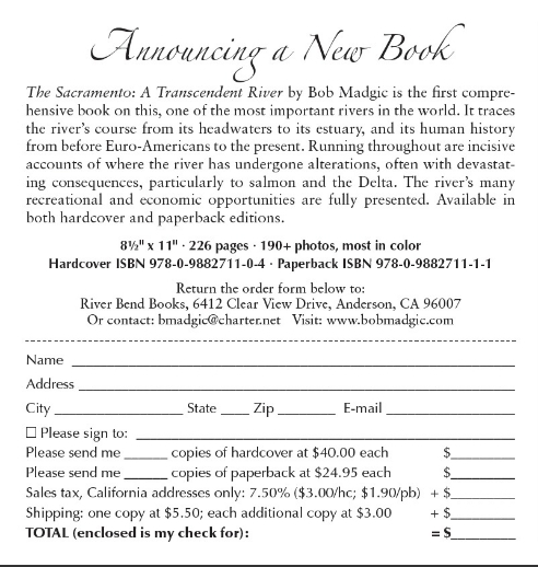
Check it out!
“This book is a Must for anybody interested in the Sacramento Rivers and tributaries with regards to fisheries, restoration, history AND just a beautiful coffee table book to stimulate FLUID discussions!” – John
Check it out!
Alameda/San Joaquin County
Mitchell’s Ravine is (was) a tunnel muck site – a legacy of the Hetch Hetchy Aqueduct from 1938. The water tunnel is about 600′ under ground at this site! San Francisco PUC-Hetch Hetchy and CA State Parks OHV Division, in conjunction with the RWQCB, were responsible for the collaborative mitigation/reclamation work. The restoration plan for the 4+ acre site restoration was designed by John McCullah, geomorphologist and CPESC, Salix Applied Earthcare and engineering was completed by Fall Creek Engineering. Neal Youngblood, Geologist Redwood National Park, provided invaluable expertise since this job was much like removing abandoned logging roads and landings. Mike Vroman, Hetch Hetchy Right-of-Way Maintenance Manager, provided project oversight.
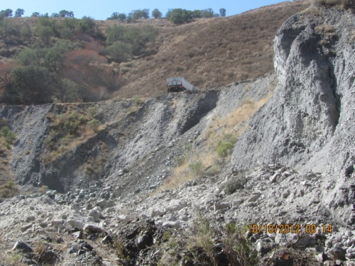
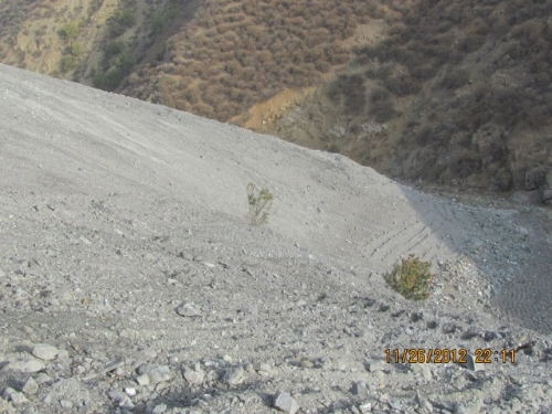
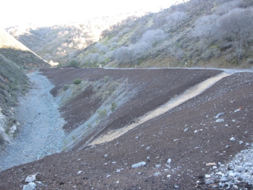
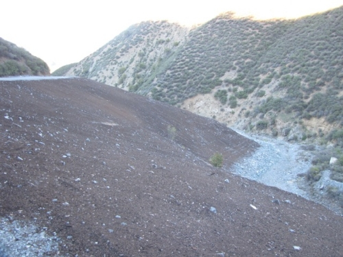
Looking Downstream at the remnants of the Tunnel Muck site before restoration began, September 2012
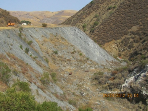
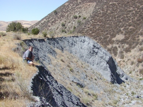
Photo 3
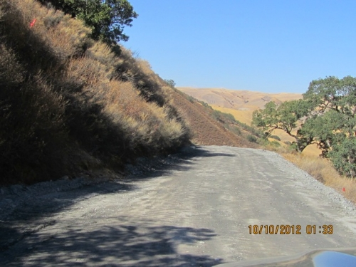
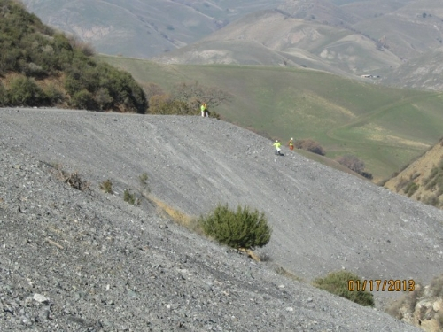
Over a mile of access road to the site was reconstructed and “outsloped” to restore hillslope drainage patterns. This work is described in the ROAD and TRAIL DRAINAGE Chapter of the OHV BMP Manual (Go to WYD Navigation and Click on WYD Files)
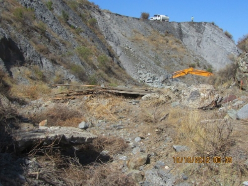
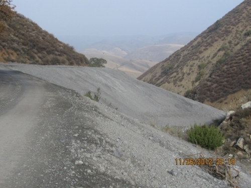
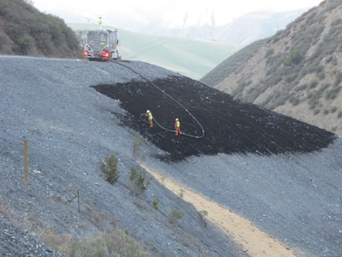
Photos 4.1 and 4.2 show the rock for Graded Stone Toe Protection was end dumped down to the bottom of the ravine. Contractor had to avoid Elderberries and provide dust control.
—————————————————————————————————————————–
Landform grading mimics the stable slope shapes – ridges and swales – that exist and have reached equilibrium. Linear and Planer slopes are intrinsically unstable. Applying these techniques allowed the “in situ” placement of the spoils (reducing exporting costs) while setting the stage for long-term vegetation and habitat establishment. Mimicking natural topographic features, restoring hillslope hydrology and building stable convex/concave slopes are all methods with wide acceptance and experience with the National Park Service (Redwood National Park), CA State Parks, Northern District (Mill Creek for instance) and Grass Valley Creek (Trinity River Restoration).
—————————————————————————————————————————-
Even Caltrans Division of Landscape Architecture (see www.dot.ca.gov/hq/LandArch/ec/earthwork/contour_grading_rounding.htm) has “Contour Grading and Slope Rounding” in the Caltrans Erosion Control Toolbox, a one-stop reference for erosion control standards and guidance. The purpose of this site is to provide Caltrans Landscape Architects with a single location that provides access to the information necessary to design successful, effective and cost efficient erosion control treatments.
The Stormwater Pollution Prevention Plan called out Surface Roughening as the primary soil stabilization BMP in the event of a rainstorm occurring during construction. Remember the slopes were constructed from relatively clean (it origins were 600′ in the earth!) and granular material. The material, if roughened and de-compacted on the surface had infiltration rates exceeding 1.25″ per hour. The probability that a precipitation event would occur that would exceed the infiltration rate was highly unlikely. The QSD/CPESC who developed this project is proud to announce that NO silt fence was used or needed on this project! However, some fiber rolls were used as barriers around the stockpiled compost, as per the California General Permit re: stockpiles.
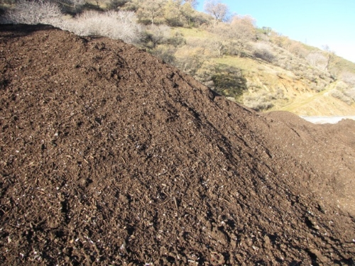
The 1100 CY of Certified California mulch used, was specially specified to have 50% moderate to large (3/8” to 3/4”) gradations. The compost Blanket (download FREE OHV BMP Manual at watchyourdirt.com/erosion-control-files/ and www.dot.ca.gov/hq/LandArch/ec/organics/compost_blanket.htm ), was applied by Phil Reiker – JET MULCH, INC. I can’t call this application an “Eco Blanket” because we didn’t use the Patented and TradeMarked tackifier called EcoBlend. The Compost Blanket was pneumatically applied approximately 1.5” think. Budgetary contraints played heavily when determining final application rates and use of amendments.
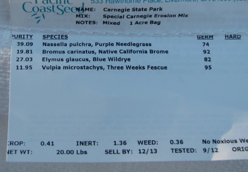
A specially developed CA Native seen mix was applied at 40# / acre. Half was applied by hand broadcasting to ensure complete coverage. Mychorrizae- AM120- was applied at 20-30# per acre and Biosol applied at 500# per acre. It took Phit Reiker and his Jet Mulch, Inc crew about 4-5 days to apply the compost. It could have gone faster but the compost got wet during an early fall rainstorm. Compost allowed to get too wet can get clumpy and result in more plugging up of the machine.
This Project will be featured in the May/June issue of “Land And Water Magazine.” Please contact that publication for even more information.
An upcoming Blog will describe the Natural Channel Design of the Lower Mitchell’s Ravine Stream Restoration and Habitat Enhancement Project.
Thanks for reading!
John and Bruce just finished the 500′ of bank repair on Cache Creek.
Do you want to hear more about how to build bank protection at 1/3 the cost $$ – compared to riprap ?
How is bioengineering combined with rock and redirective methods to develop equivelent (to riprap) protection that is Environmentally-sensitive?
How did utilizing Environmentally-Sensitive Biotechnical techniques effect the permitting process?
See how John and Bruce worked around and ultimately protected sensitive plants.
Give us a shout if you want more info.
In the meantime, see some before and after photos of Cache Creek.


John is up in Southern Canadian Rockies helping to fix up the Belly River and protect an Alberta Highway.
See photos and note the difference!! Today he instructed Brush Layering with Soil Flaps (700 g/m2 coir netting), Pole Planting, Fiber Roll installation using “stake and rope method”, and much more.
John reports that this is the “windiest” region in Canada with the Chinooks wailing out of the Rockies. There are reported 3000 wind generators in region. Home of the Blood Tribe, largest first nation band in Canada – several members joined the workshop too.


Bioengineering and Biotechnical Streambank Stabilization Techniques Workshop
October 16-18, 2012
Classroom Training – October 16th, 2012
Walerton Lakes Resort
Walerton Lanes National Park, Alberta
Field Training – October 17 & 18, 2012
Hwy 800 Belly River
Instructor: John McCullah
This three day course will provide both theoretical and applied training in bioengineering and biotechnical stabilization techniques with a strong emphasis on erosion and sediment control The material presented will be of use to regulators, designers, project managers and contractors.
This course is being presented by Centre for Transportation Engineering & Planning
Register On Line at:
Contact Neil Little, Executive Director for more details

The Belly River is “eating the bank” and undermining the Alberta DOT Highway

Close up taken in May 2012. Besides fixing teh problem, the idea for another “hands-on workshop” was spawned!!!

Emergency actions involved the Soil Nail Launcher, (See Willow Creek Episode of Dirt Time, for more information and actual vdeos!!)


The last two Images show the site now – ready for the workshop to do the bioengineering and biotechnical elements – Live Siltation, Willow Brushlayering, Soil Flaps with Brushlayering, Green Armor system TRMs and much much more.
The Longitudinal Peaked Stone Toe has been built and the rock vanes installed by the Contractor. Project engineers are AMEC.
Want to learn more about the Environmentally-Sensitive Streambank Stabilization techniques? As provided in NCHRP Report 544 and ESenSS.
See archive for more info on Fort McCloud and Willow Creek projects in Southern Alberta. /watchyourdirt-erosion-control/2012/6/20/new-belly-river-stream-project-and-workshop.html


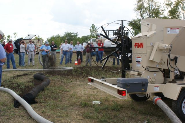
In August John attended the FINN Dealer Sales Conference held in Cincinnati, Ohio
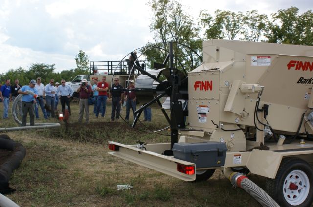
All North American FINN equipment dealers were represented at the meeting. In addition to the sales training and erosion control focused presentations, we had a field day where FINN HydroSeeders®, FINN Bark Blowers, and a FINN Straw Blower were all demonstrated and everyone was given the opportunity to operate them.
Demonstrations included North American Tube Products showing how to fill their etube filter sock using the bark blowers.
See the pictures below and stay tuned as to where around the world John goes next!
Also, follow Will Mahoney, M.A., P.G. on his Erosion Control journeys around the world at https://www.soilfundambassador.blogspot.com/
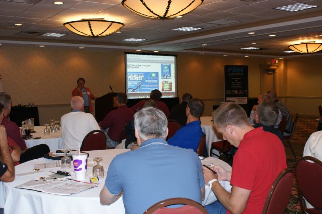
John was a Keynote Speaker for the FINN conference
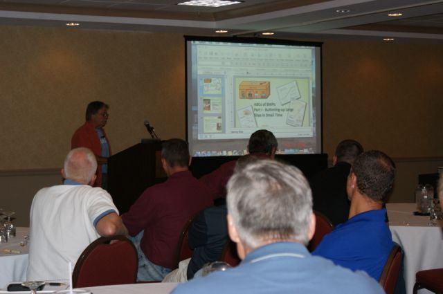
John provided a lecture full of information

John talks about the ABC’s of BMP’s
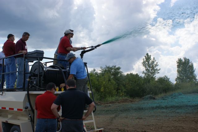
Demonstrations of how the equipment works
Hands on with FINN equipment
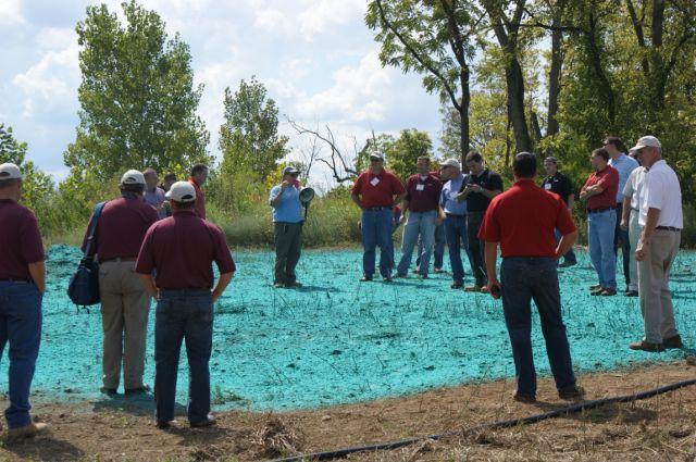
Demonstrations on different applications
Great field day!
Click the link to see Forester University webinar
Hi All
Sorry for the delay in new postings but LOTS of exciting projects happening!
One you might be interested in is the NEW Belly River Stream Project and Workshop. Remember the Willow Creek project?
/watchyourdirt-erosion-control/2009/5/18/willow-creek-site-visit.html
Well the Belly River Workshop will be very similar. This project is also sponsored by the Alberta Transportation and the engineering by the AMEC office in Calgary.
Project: The Belly River site is about 2-hours south of Calgary. The Highway is threatened by slides which are initiated by the Belly River “eating” the toe of the slope. The river is making an acute bend and meandering into the slide mass.

You can see how this site is perfect for redirectives methods (in this case Rock Vanes were chosen) to give the river a “smoother radius of curvature”. By stabilizing the toe, we can then go in and repair the landslide. AMEC has designed some pretty robust geotechnical solutions. The upstream slopes are being dedicated to Enviromentally-Sensitive and Biotechnical solutions – and these will be the main subjects of the 3-day workshop. Solutions including Vegetated Reinforced Channels, Brush layering, Live Siltation, Modified Brush Layers, Soil Flapping, Compost Incorporate and many more!! What is very exciting is we are going to learn about bioengineering and also some of the Sustainable Erosion Control techniques recently developed by Caltrans. See: https://www.dot.ca.gov/hq/LandArch/ec/index.htm
The workshop will be completed in mid-October. The workshop is being coordinated by Neil Little, C-Tep and as far as I know, the workshop is open for more attendees. The three-day workshop will be held in nearby Waterton, think Glacier National park!!!
More later as I am currently studying the Loire River in France – OK, it’s not work!!
You can reach Angela in my office at 530-247-1600
By the way, the last two photos show how well the Willow Creek project and the downstream Old Man River project have performed over the last few years.


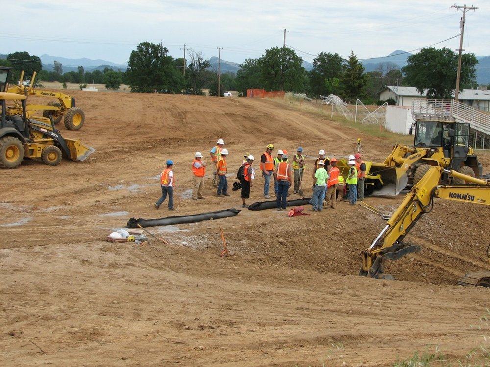
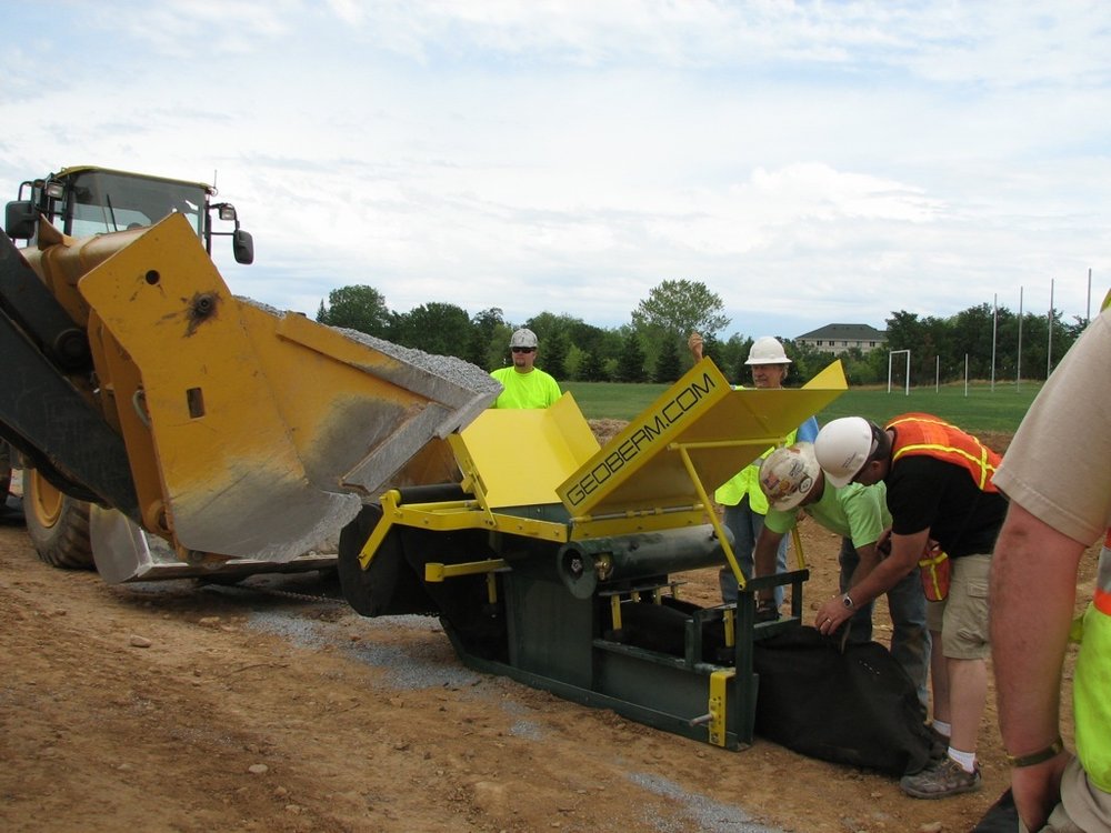
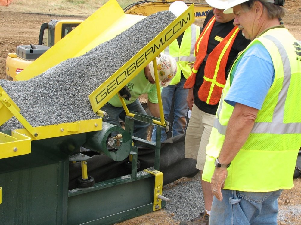
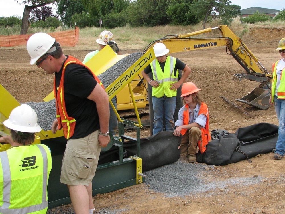
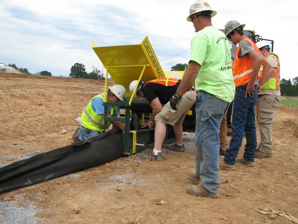
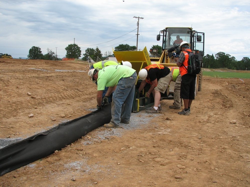
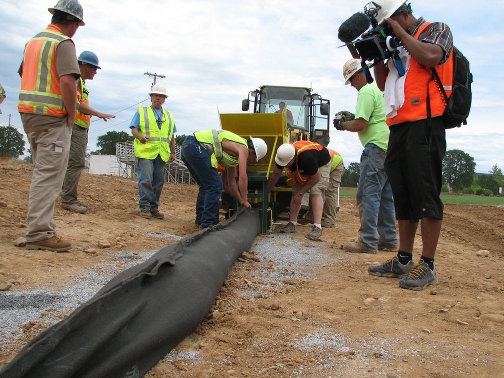
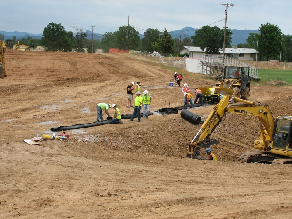
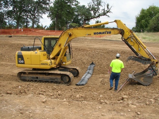
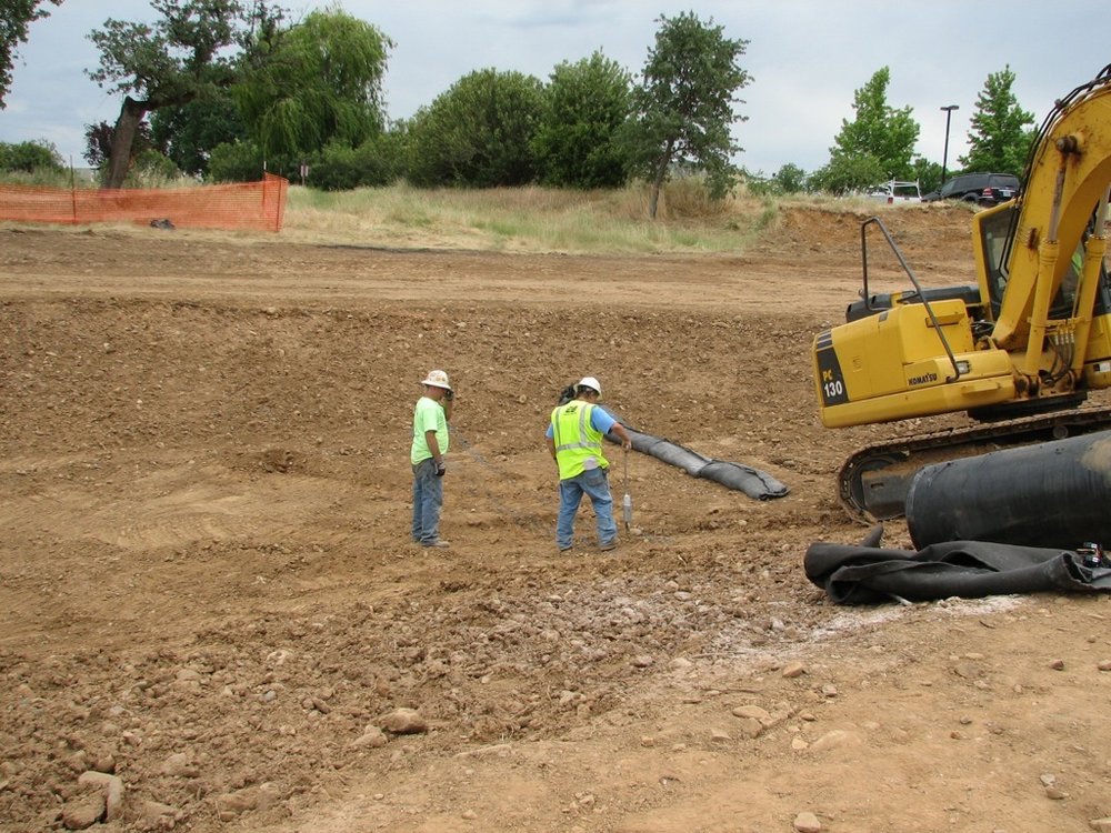
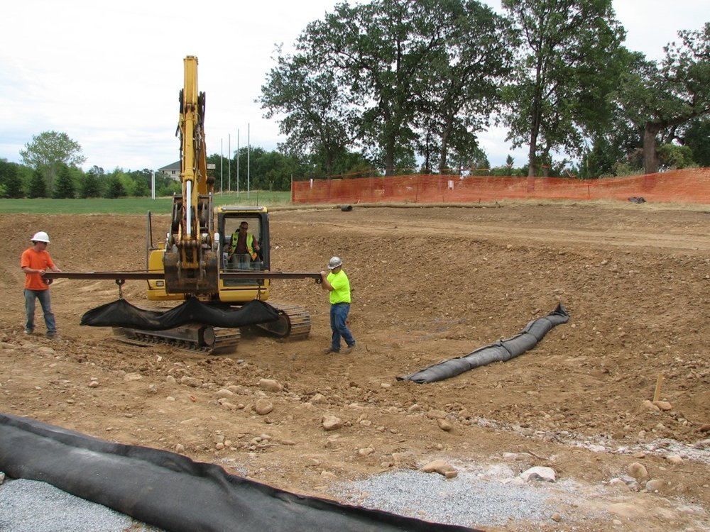
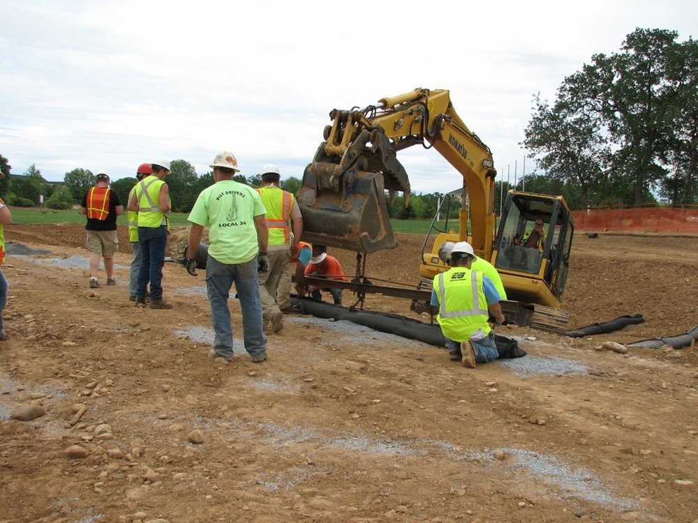
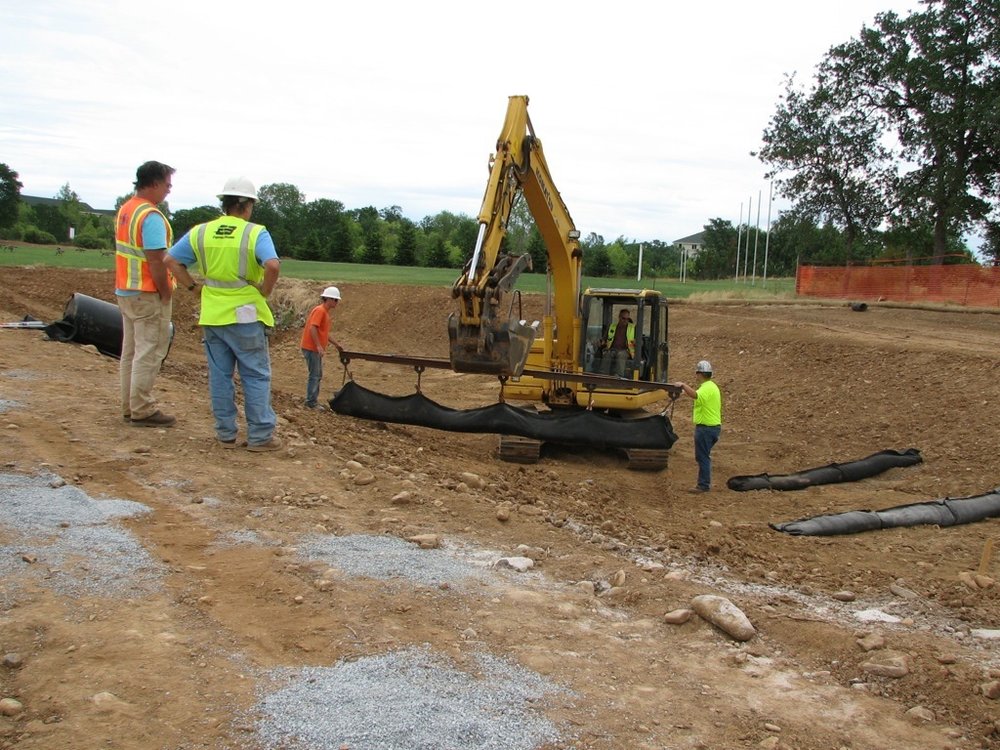
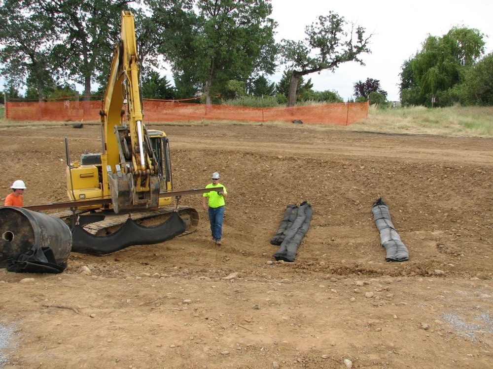
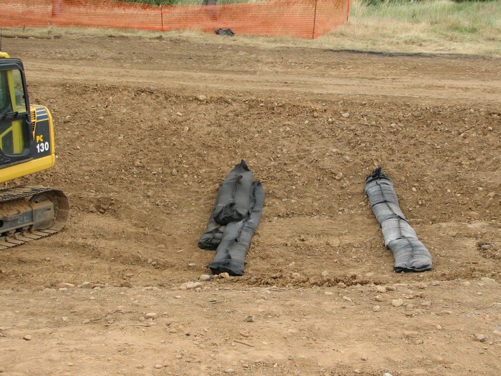
Last week John’s students from Shasta College got the opportunity to watch the GEO-BERM©Continous Machine in action at the Simpson College Community Baseball Field! The GEO – BERM© Continuous Berm Machine creates barriers that are low-cost, Eco – Friendly alternatives to silt fences and straw bales for construction. Geo-Berm can be used to construct continous long reaching berms or sections of berms as we did here. Check out Geoberm.com for further information. View our slideshow below to see the Geo-Berm results!